UN
72 Millfield
£ 224,000
Description
We don't have a Description for this property.
- Bedrooms
- 4
- Bathrooms
- 0
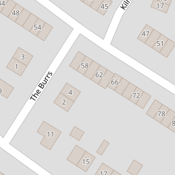
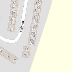
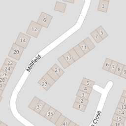
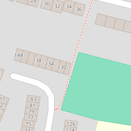

Leaflet © OpenStreetMap contributors
The heatmap indicates the level of crime in the area. The color of the heatmap indicates the crime severity and recency.
Metrics Year-on-Year
- Average area value
- 288,821.00 £Decreased by 8.96 %
- Average area rental value
- 951.00 £/moDecreased by 23.55 %
- Est rental Yield
- 3.95 %Decreased by 16.14 %
- Crime Rate
- 4.00 %Unchanged by 0.00 %
from 317,234.00 £
from 1,244.00 £/mo
from 4.71 %
from 4.00 %
Nearby Schools
| Name | Type | Ofsted | Distance |
|---|---|---|---|
| South Avenue Primary School | Academy Converter | Good | 0.26 KM |
| Highsted Grammar School | Academy Converter | 0.57 KM | |
| Vtc Independent School | Other Independent School | 0.57 KM | |
| Fulston Manor School | Academy Converter | Good | 0.67 KM |
| Borden Grammar School | Academy Converter | Good | 0.78 KM |
Images
Nearby Streets
| Name | Average Price | Average Sqft | Distance |
|---|---|---|---|
| Bell Road | £ 134,222 | 0 | 0.00 KM |
| Lavender Court | £ 235,000 | 0 | 0.00 KM |
| Saint Michaels Close | £ 240,000 | 0 | 0.00 KM |
| Orchard Place | £ 0 | 0 | 0.00 KM |
| Railway Terrace | £ 0 | 0 | 0.00 KM |
Nearby Transport
| Name | NLC | TLC | Distance |
|---|---|---|---|
| Sittingbourne | 5187 | SIT | 0.99 KM |
| Kemsley | 5205 | KML | 2.98 KM |
| Swale | 5249 | SWL | 5.91 KM |
| Teynham | 5193 | TEY | 7.28 KM |
| Newington | 5175 | NGT | 8.29 KM |
Nearby Listings
| Address | Price | Type | Score | Distance |
|---|---|---|---|---|
| Millfield, Sittingbourne | £ 220,000 | BUY | Unknown | 0.00 KM |
| Millfield, Sittingbourne, Kent | £ 250,000 | BUY | 5 / 10 | 0.01 KM |
| Millfield, Sittingbourne, Kent | £ 188,500 | BUY | 5 / 10 | 0.02 KM |
| Millfield, Sittingbourne, Kent | £ 285,000 | BUY | 5 / 10 | 0.02 KM |
| Millfield, Sittingbourne, ME10 | £ 230,000 | BUY | 5 / 10 | 0.04 KM |
Nearby Properties
| Address | Price | Distance |
|---|---|---|
| 77 Millfield | £ 154,000 | 0.00 KM |
| 72 Millfield | £ 224,000 | 0.00 KM |
| 144 Millfield | £ 240,000 | 0.00 KM |
| 70 Millfield | £ 210,000 | 0.00 KM |
| 59 Millfield | £ 155,000 | 0.00 KM |